

End
Contact us at info@dronepath.io or use the form below!
Aerial Photography, Mapping, Survey, and Data collection.
Aerial Photography, Mapping, Survey, and Data collection.


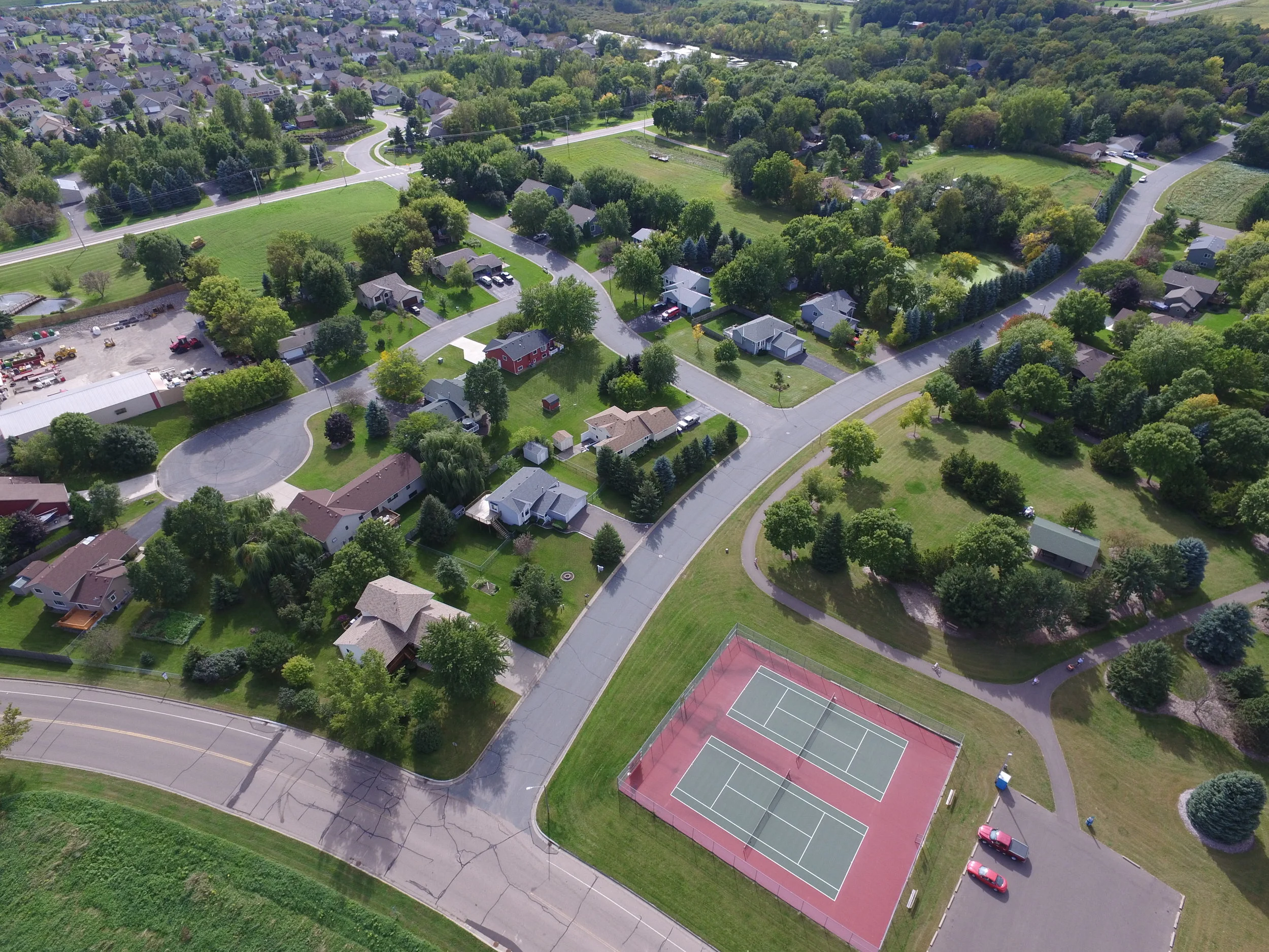
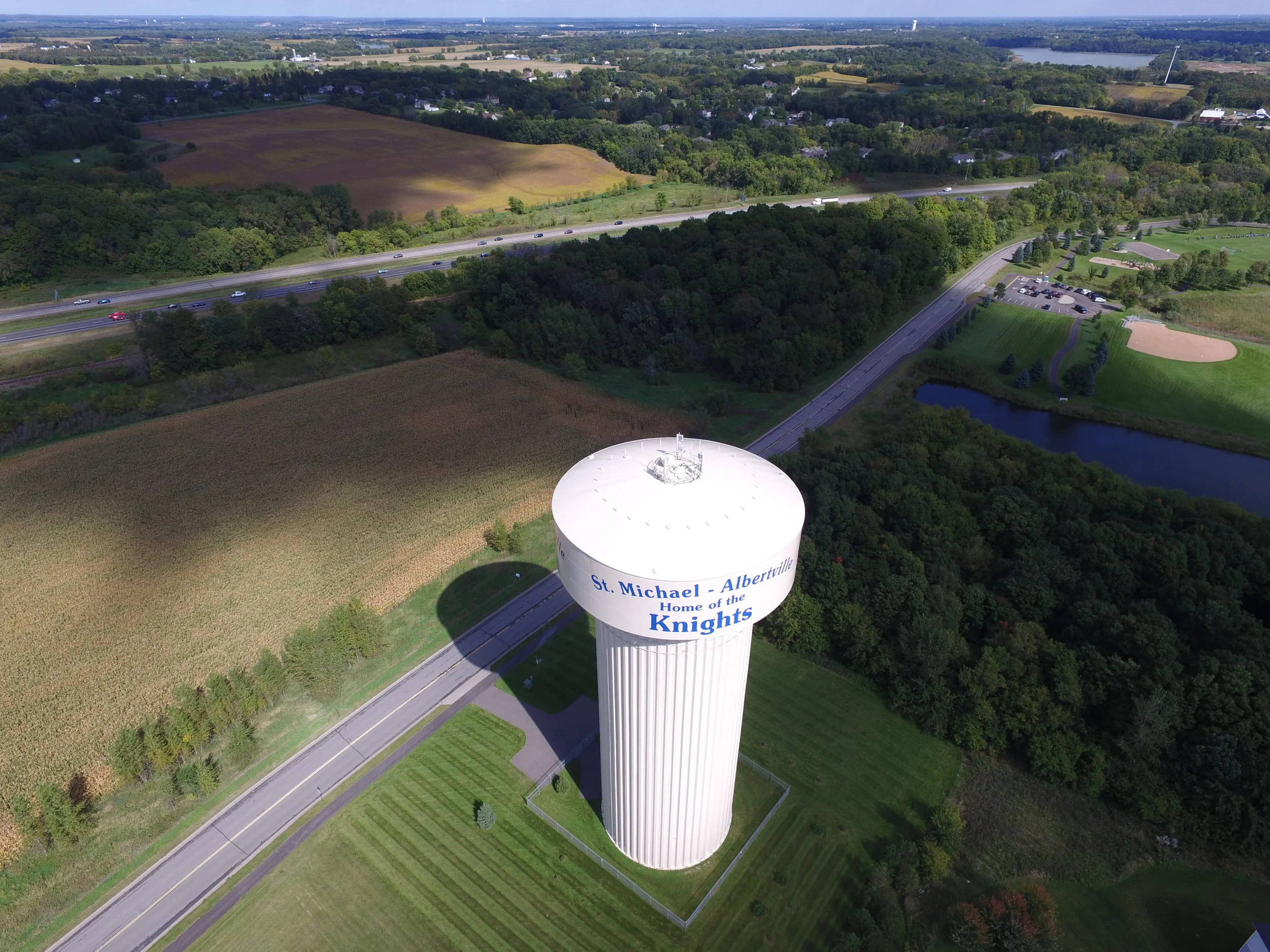
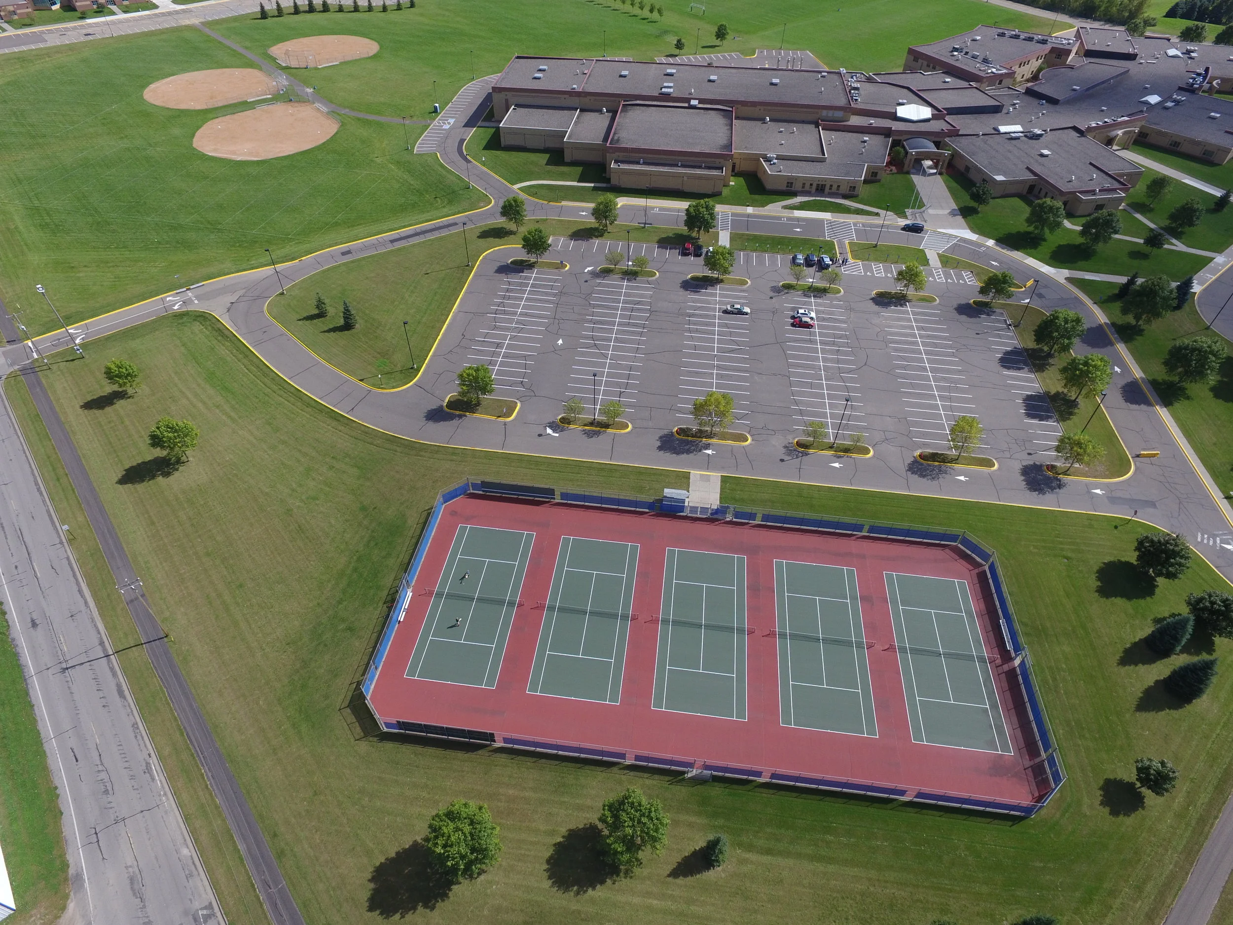
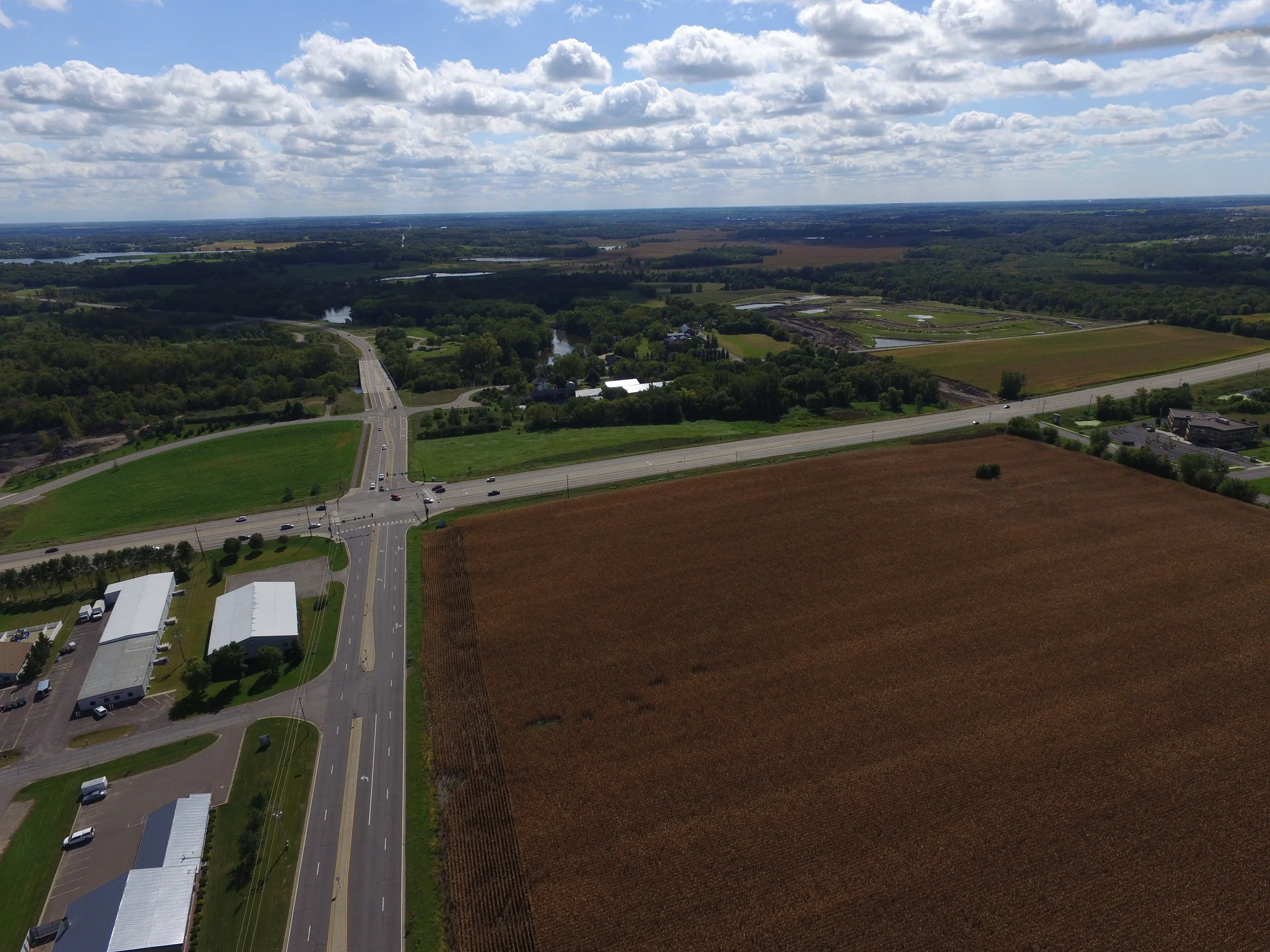
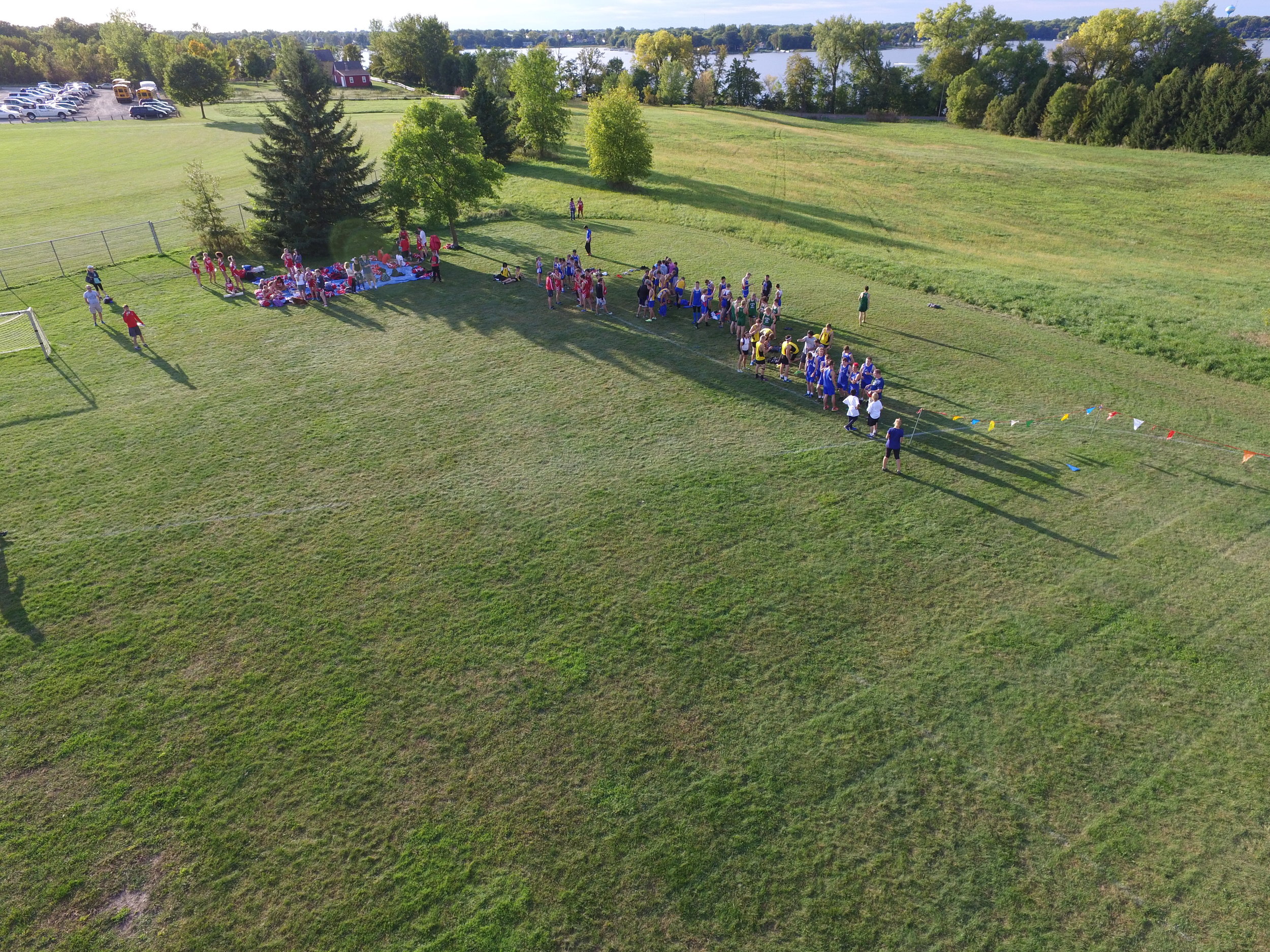
dronepath.io specializes in the production of high quality aerial photography for map making, site audits, construction, agriculture, and landscaping. Our pilots are licensed under part 61 and the new FAA part 107 requirement for commercial use of small unmanned aerial systems. We combine our knowledge of aviation and data collection and processing to produce quality results for our clients.
Our high-resolution, highly detailed aerial maps are fully geo-referenced and are easily added to ESRI, QGIS, or other GIS / web based tools.
Our high-resolution, highly detailed aerial maps are fully geo-referenced and are easily added to ESRI, QGIS, or other GIS / web based tools.
Our state of the art data analysis tools output detailed 3D models. These models are excellent tools for planning and visualizations.
Our state of the art data analysis tools output detailed 3D models. These models are excellent tools for planning and visualizations.
There are many and varied uses for low-cost aerial photography present in the agriculture industry. Get regular and consistent imagery that displays crop health, water / erosion impact, and planning for next planting season.
There are many and varied uses for low-cost aerial photography present in the agriculture industry. Get regular and consistent imagery that displays crop health, water / erosion impact, and planning for next planting season.
Contact us at info@dronepath.io or use the form below!
Contact us at info@dronepath.io or use the form below!
© 2016 - dronepath LLC
© 2016 - dronepath LLC
Albertville, MN
We'd love to hear about your project!